It sounded like a howling gale outside the hut overnight. I was so glad I wasn’t trying to camp!
I’d been racing to stay ahead of the bad weather over the last couple of days, And it seemed like the bad weather had finally caught up with me. My original plan was to head 10km down the mountain to Whakapapa today, stay in the holiday park there, and then follow s 20km trail to National Park the day after. But the holiday park only has tent sites available, and tenting in the wind and rain is no fun. And the following day’s trail allegedly has river crossings that rise rapidly during rain, and may be impassable if I wait too long.
So while I was listening to the gale overnight, I decided that I would do one last big day today: all the way to National Park, walking on the main road if the weather was bad. My sore feet wouldn’t thank me for it, but this would avoid both camping in the wet, and flooded rivers.
So with that plan in mind, it was yet another early start. I was up at 5:30am trying to pack quietly without waking any of the others, and at 6:20am I was off. The wind was still howling and it was raining, so I had all my wet weather gear on.
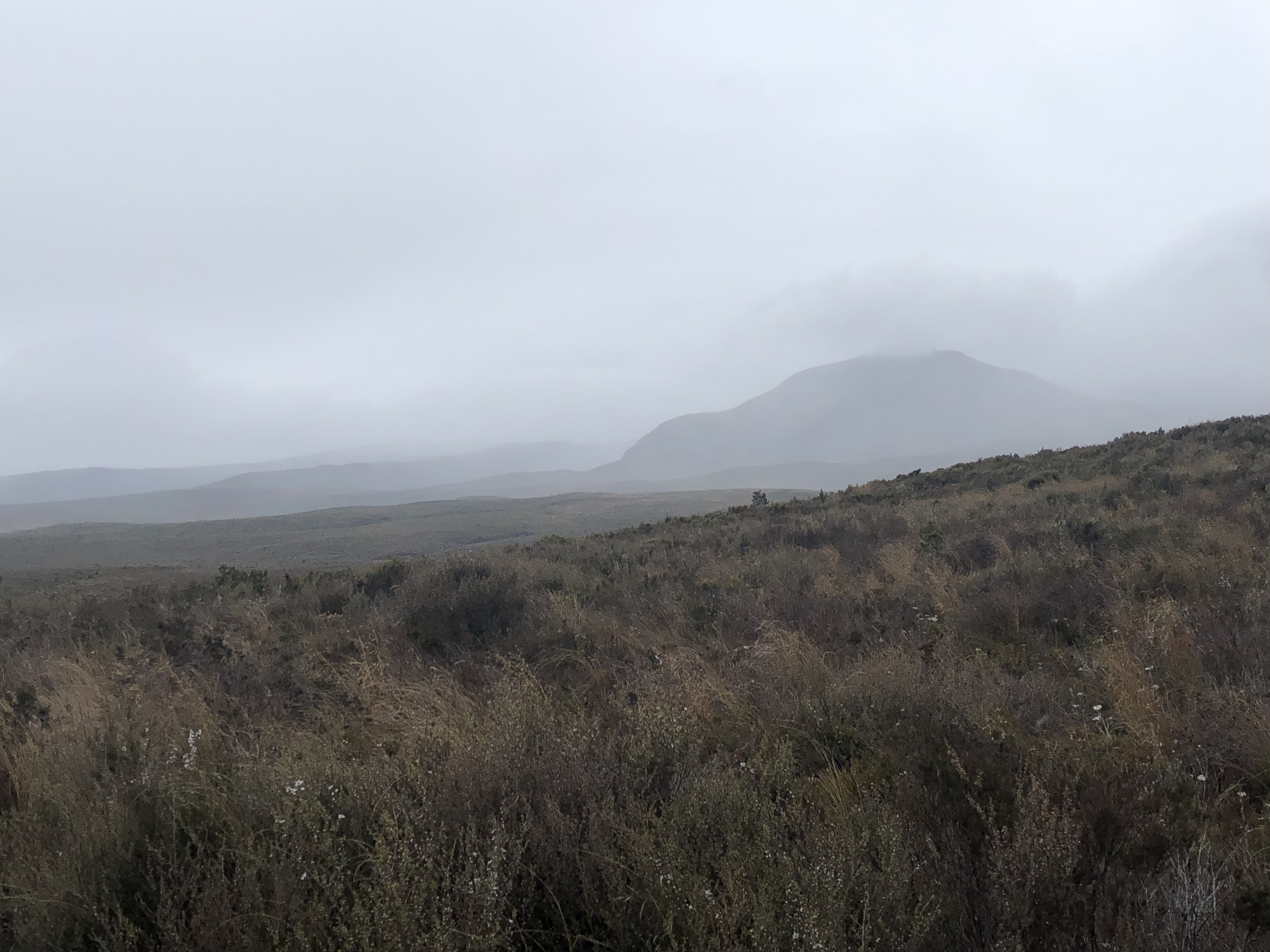
It was a relatively good trail down the mountain. However, even though the rain and wind eased after a hour or so, most of the surrounding peaks continued to be covered in cloud. Even though I was starting at Tongariro and finishing underneath Ruapehu, I couldn’t see either of them.
 |
| Looking back at Tongariro, totally hidden in cloud |
 |
| The rain starting to ease |
 |
| Not sure what this peak is called, but National Park Village is on the other side (I think) |
 |
| Believe it or not, that’s Mt Ruapehu ahead |
 |
| Passing over old river beds |
 |
| Goodbye, Tongariro! |
 |
| The Chateau in the distance - Whakapapa is getting close! |
 |
| The official sign at the end of the trail. Good to see where I’ve been! |
After three hours I was in Whakapapa Village. There’s not much here - as far as I can tell mainly the holiday park, the old Chateau hotel, and a DOC information office. But I wasn’t staying, and I forgot to even take a photo as I passed through. And I still couldn’t see anything if Mt Ruapehu, even though Whakapapa is at the base of it.
I headed to the DOC info site to check out the conditions on the trail between here and National Park. The lady there was very helpful - she confirmed there is a stream that rises quickly after rain, and apparently rain was due this afternoon. But, it hadn’t rained here overnight so the stream was still low, and would be passable if I got there quickly. So, no need to walk along the road instead - but again, this meant I needed to keep moving to stay ahead of the weather.
So after a quick phone call to the National Park YHA to make sure there was room available for me, I was off again. The first 6-7km were along the Whakapapaiti track - which looked very familiar to me once I was on it. I realised I’d been here before: about 8 years ago, doing the Round The Mountain hike (around Ruapehu), I walked out on this trail on the last day. And Whakapapaiti Hut was where I encountered bed bugs! It brought back some very itchy memories.
 |
| Starting along the Whakapapaiti Track |
 |
| Following alongside a stream |
 |
| 10am pic: making good progress |
The track continued to pass over familiar ground - boardwalk, rocks and streams.
 |
| I think I remember this… |
 |
| And this! This was a steep clamber downhill over rocks |
I was still trying to make good time, to get to my river crossing before the rain. I saw a river ahead - but no, this wasn’t it, there was a bridge.
 |
| False alarm. But, bridges are good |
 |
| Views up the river… |
 |
| … and down. |
The Whakapapaiti track eventually turned into the Mangahuia track, veering back north for 7-8km. I was expecting this to be rough, boggy and slow going, but while it was certainly tougher it wasn’t as hard-going as I had expected. I was still making good progress, and it still hadn’t rained, so things were looking promising.
 |
| Some streams to rock-hop across en route |
 |
| Taking a rest on the trail |
 |
| A view of Mt Tongariro, wrapped in its own weather force field |
Finally I reached the stream that everyone was worried about. It was low and I managed to rock-hop across. Too easy!
 |
| But after rain, it would have been a different story. |
 |
| A few more slippery climbs in places |
I was forced to make a rather sudden loo stop along the way. I won’t inflict the details on you, apart from perhaps the word “yellow”. The same thing had happened to me at the same time on the 42 Traverse - I realised the common factor was that I had eaten a certain brand of instant noodles the night before. I’ll take that off my shopping list from now on!
Eventually the trail began to become more even. I was passed by a rather speedy TA walker who stopped for a chat - when she heard I’d done the Crossing yesterday, she asked “Are you that guy that had to crawl over the ridge?” Apparently she’d been talking to the same lady at the DOC I-site!
Later on, another group of TA hikers coming the other way also told me about the guy that crawled over the Crossing. I think they’d heard it from a couple of my TA friends who had already passed by. It seems I’m infamous already - this is how legends are made!
I was nearing the end of the track, and starting to feel the effects of the long day (days). My Achilles had increasingly become very sore over recent days - I’d been pushing too hard, and near the end of each day I was paying the price.
I started singing fragments of White Wine In The Sun again, by Tim Minchin. I’ve come back to this song several times in recent days - it’s a Christmas song but it’s in part about being connected to family when you’re far away. It’s poignant, and as it often does it left my eyes misty and a lump in my throat. I think it’ll be my official song of this third TA section. If you don’t know it, have a listen on
https://www.youtube.com/watch?v=fCNvZqpa-7Q (I hope the link is right). Bring tissues.
 |
| Lots of flax flowers |
 |
| Nearing the end of the Mangahuia track |
Eventually the trail reached the state highway. But, there was still 7km of road walking to go, to teach National Park Village. That last hour and a half were the hardest all day - my Achilles were very sore, and each step was painful. The rain had held off all day, but I was starting to feel spits of rain on my back as I approached.
 |
| The long road to National Park |
Finally I hobbled in to the YHA. Woo-hoo! I was staying in a shared dorm for the first night, and found that TA friends of mine Chris and Lynne (from Colorado) were already there - they’d hitched from Whakapapa. After dumping my gear and having a shower to freshen up, we all headed over for a quick drink and a bowl of nachos at the bar across the road.
 |
| At Schnapps Bar with Chris and Lynne |
And then, straight to bed!
 |
| My dorm bed for tonight |
With today being my third double-day of hiking, I’m actually here in National Park three days ahead of schedule. So I get three rest days here, hopefully enough time for the rest of the bad weather to blow through before I start on my next section, the Whanganui River kayak. And for my suffering achilles tendons to heal up too I hope. No walking or wet tents for the next three days - yippee!
 |
| Today’s route |


Phew! What a trip! Definitely time for a good rest and the weather doesn't exactly encourage one to get out and discover nature. Enjoy your break, Simon. xx
ReplyDeleteYes, Mother Nature is being a bit contrary this trip! With more to come apparently… xx
Delete