Thursday, December 31, 2020

Day 17: Ngunguru to Ocean Beach (29km, 11 hours)

Last night James mentioned there was another TA walker 1 day ahead of me, Jason; and 2 days ahead are Clare and Alyssa. So it’s good to know I’m not alone - but with my rest day coming up in Ruakaka I may not catch up with them. 

I was off in the dark with my headlamp at 4:45am this morning, in order to catch the estuary crossing at low tide. It was too early for birds - just crickets, and a hedgehog. 

The route initially was through private Maori land (walkers pay a small koha for access). It wasn’t well signposted, so I took a couple of wrong turns - just as well I had my TA app to point me in the right direction.


Sunrise.

Soon after sunrise I was at the estuary. There were two very protective oystercatchers with very cute chicks, who chased me up the beach to the crossing point. The crossing was over about 100m of estuary - I crossed in bare feet to avoid getting my shoes muddy, with water up to about hip deep.

Estuary crossing, trying not to drop my phone.

Afterwards it was road walking through Pataua, and on to the Taihururu estuary. 

Another footbridge, between North and South Pataua.

This is where I was hoping to do the second estuary crossing, this one wading for 2km. Sadly, not today - the tides were wrong, and I would have had to wait for 5 hours before I could cross. So regretfully it was a 2-hour road bypass instead.

Where I should have crossed. But, not today. Far away in the water I could just see a little white pole marking the way.

Second breakfast! 

10am pic: water stop under a roadside tree

After several hours of bypass, the road turned to steep gravel, leading up to Kauri Mountain trail. Yes, the clue is in the name - it’s a hard slog uphill, through bush to a peak overlooking Ocean Beach.

I met a family at the top, who had walked up the other side from Ocean Beach, and we stopped for a rest and a good chat. Yet another coincidence - they know my ex-colleague Meg Freeman from Western Springs!

Fiona and Andy Hamilton and co, with father Mark taking the pic, at the top of Kauri Mountain.

First view of Ocean Beach! My day’s not over yet, I still need to get to the other end.

The descent was easier - and finally I was on Ocean Beach. A beautiful beach - it brought back memories of 90 Mile Beach, but with less pain. Only 2-3 hours to get to the other end.

I met Dave and Mark drone fishing on the beach - they offered me a beer and I stopped for a long philosophical chat.

Dave and Mark. Thanks guys, I enjoyed the beer and the chat.

Continuing down the beach

I took the last selfie just after saying goodbye to Dave and Mark. Coincidentally, as I was taking it I saw an email from Hone Heke lodge in Kerikeri, saying they were touched by my Christmas note and asking how I was getting on. I burst into tears - the unexpected kindness of strangers is something I’ll treasure from this experience.

Passing oystercatchers and dotterels along the way

I’m almost there! Final view back down Ocean Beach

Finally I got to the south end, and my destination. Wendy and Rupert allow TA walkers to camp at their small farm - today they were having a New Year’s Eve gathering at the campsite, but they found a quiet place for me to set up camp, and offered me another well- deserved beer. 

My last camp for 2020!

Going back for a swim. As you can see I had the beach almost to myself.

Dinner: Uncle Ben’s Mexican Rice, with peri peri chicken. Mmmm!

It was a huge day today - 11 hours and 53605 steps, a new record! I said in today’s blog title that it was 29km, but that is just my progress along the official TA trail - with an extra 4km detour and 1km of wrong turns, it was probably 34 km of actual walking. I went to bed early, and fell asleep to the sound of New Year’s Eve celebrations somewhere in the distance.

Happy new year everyone!

Wednesday, December 30, 2020

Day 16: Whananaki to Ngunguru (27km, 7.5 hours)

“Down in Whananaki, where the fellers chew tobacci...” has been going round in my head since I woke up.

Off and away at 7am today, over the footbridge across the estuary from North to South Whananaki. 

The longest footbridge in the Southern Hemisphere apparently. Who knew?

There were a lovely pair of cormorants on the bridge as I was passing. Or shags? I’m still confused between the two. But “cormorant” sounds more elegant.

South Whananaki is the place to be! The North Whananaki cars can’t get over the footbridge, so it is peaceful, and the beaches are gorgeous.

The trail wound for several hours in the hills and through farms just off the beach, with fantastic views of the sea, and the Poor Knights islands in the distance.

I was thinking of the last line of my favourite Thumpermonkey album: “So stop trying to fill your scrapbook / take a look at where you are”. So I stopped for a while and looked out at the sea, and listened to the surf.


I love the sea.

Anyway, the trail moved inland, became a farm road, then onto the main road in Matapouri. There’s been another bypass around the next beach area south of Matapouri, so it was road trudging for the next 4-5 hours: dodging traffic on a main road, then turning into a quieter side road, then eventually a gravel road (an old coach trail apparently) through to Ngunguru. I took another wrong turn at one point where the coach trail started - I think I was distracted by a passing quail with a large group of chicks. But a local driving by saw me and kindly did a u-turn to point me in the right direction.

10am pic: Whangarei’s not far now!

Lunch in Ngunguru: pie, soft drink and plums.

I got to Ngunguru a bit earlier than expected. I needed to cross the estuary to get to the Nikau Bay camp where I’m staying tonight - but James the camp owner kindly came across to pick me up early.

Thanks for the lift James!

They have a couple of spare beds for TA walkers, not used at the moment - so I have a bed tonight!

My little cabin

Dinner was laksa pot noodles, with fresh eggs and silver beet from the garden.

Oh no - I’m becoming one of those people who post pictures of food!

James poured me a very nice G&T while he explained tomorrow’s section. It’s going to be a long and logistically complex day - over 30km, with several big water crossings that can only be done at low tide. I’ll have to leave by 5am, and am going to get very wet and muddy! And there’ll be a long walk down Ocean Beach afterwards. 

James with G&T in hand.

James’ infamous billboard with the crossing details for tomorrow.

Afterwards I said good night to James and his wife Wendy and headed back to my cabin to update my blog and get ready for another big day. I’m a bit nervous about tomorrow, but I’m sure I’ll survive!

PS: I’m at the 344km mark today!


Tuesday, December 29, 2020

Day 15: Helena Bay to Whananaki (24 km, 9.5 hours)

Alex very kindly dropped me back at 6:30am to where I left the trail yesterday afternoon.

The road rose up past Helena Bay, then it was over a stile onto a rough trail through bush, the Helena Ridge track (9km).

Helena Bay early in the morning.

After a gentle start the track started going relentlessly uphill for over 2 hours. Not as extreme as the Raetea Forest, but I was getting exhausted and starting to have Raetea flashbacks. Eventually it reached farmland at the top.

Lovely regenerating native bush. Not so lovely uphills!

Time for an OSM bar after all those hills

Shortly after this I took a wrong turn - the turnoff and the orange trail marker had been hidden by gorse. 500m down the wrong track I realised something was wrong. My TA trail app showed me I was away from the trail, but it still took a while retracing my steps and hunting through the bush to find where it was supposed to be. 

Finally, coming out of the bush.

My 10am pic: a quick water break

Then on to a brief road section, it was time for today’s track number 2: the Morepork-Onekainga (13km). It started off looking like an easy walk - wide flat trail under nice forest, not too many ups and downs. But that was just the Morepork.

Stopping for lunch at the end of the Morepork section.

...and a quick lie down, looking up at the trees.

The Onekainga section however was a totally different beast. Steep uphills and even steeper downhills. Rough footing underfoot. And just when it lulled you into thinking the worst was over, it threw more at you. For a while I was trying to recall Bilbo’s walking song from The Hobbit, but I could only remember the first line: “The road goes ever on...”. Eventually I was too tired to think, apart from grumbles, groans and the odd swear word.. 

The final descent was a mad clamber downhill under the trees, looking for nonexistent footholds, which seemed to go on forever.

More bush! The Onekainga also crossed about 5 shallow streams, but they were easy to rock-jump across.

The view from the top of the Onekainga.

More downhills! Arrrrghh!!

Eventually I staggered out mid-afternoon. It was 1 more hour to get to Whananaki, down a road and then along a track by the estuary. I was exhausted. 

Whananaki was heaving with holidaymakers, but I found a spot for my tent at the Whananaki Holiday Park.

Ahh, a quiet place to set up the tent, perhaps.

The view from my tent door. And this was merely the overflow camping area! Clearly I’m not the only camper in the village.

Time for dinner, and an early night.

Takeaway battle, Ahipara vs Whananaki: 1-1 draw.  Ahipara had better chips, Whananaki had the better burger.

A treat before bed

Today was almost 10 hours of laborious hilly trails, and I’m shattered. I did 44,777 steps today! My feet are sore but my shin didn’t cause me any problems even over all that rough terrain, so it looks to be healing up nicely. I’ll sleep well tonight. As long as all the Whananaki holidaymakers don’t keep me awake...

Monday, December 28, 2020

Day 14: The Farm campsite to Helena Bay (16km, 4.5 hours)

It was chilly overnight, I had to put my fleece on inside my sleeping bag. But it warmed up after sunrise. I allowed myself a sleep in until 7:30am - it’ll be a shorter day today.

On the road at 9am. It’s all road walking today, though that will change from tomorrow. There seems to be quite a bit of holiday traffic, and not much verge on these roads today, so again I was crisscrossing the road or jumping into the verge pretty frequently to avoid cars.

My 10am pic. More roads today.

Passing through rural countryside. Unusually, this pic has a decent verge.

I stopped for an ice cream at the Oakura turnoff, and then on to Helena Bay. I’ve been following the same Russell Rd now for almost 2 days - the Farm was number 3632, my destination today number 1807. But before I could get there, a van drove by and someone called out “Simon?”. I was a bit confused until I realised it was Alex and Dave, my hosts tonight. They picked me up and drove me the last 500m to their place. (I’d already passed the turnoff to tomorrow’s trail route, they’ll drop me back to that point tomorrow).

There’s no campsite in Helena Bay, but Alex and Dave welcome TA trampers to camp at their place just off the trail. They’ve also set up a little caravan, where I’m staying tonight. Very cosy!

My home for tonight.

The first thing they offered me was a beer (I said yes please). Alex later drove me down to Helena Bay for a look, as the trail will bypass that tomorrow.

Helena Bay

Alex, with Kowhai and Toto.

And later I joined them for a chat and a barbecue dinner - chicken, sweet corn, potatoes and salad (and a beer and wine). Alex is an artist, Dave an ex-builder but about to go in for heart surgery soon. It was lovely spending time with them and sharing stories - in fact it was the most time I’ve spent with anyone all trip, apart from Donald and Anthony in Paihia, and Clare at the campsites on 90 Mile Beach. They don’t charge for anything, they just ask for a koha. 

Surveying the damage after dinner. Thanks so much for a lovely afternoon Alex and Dave!

Then, off to the caravan to do my blog, and bed. It will be a very long day tomorrow to Whananaki, I’ll need my beauty sleep.

PS: Checking the TA app, today I’m at the 293km mark. And home is 586km. I’m officially half way!

Sunday, December 27, 2020

Day 13: Paihia to The Farm campsite, Whangaruru (26km, 7 hours)

Goodbye, Pickled Parrot!

Today and tomorrow should normally be heading through the Russell Forest - but kauri dieback means there’s been another bypass. So I’m going to be heading over to Russell, and road walking for most of the day, ending up somewhere south of Whangaruru.

Jay say the next resupply point may be 3 days away, so I stopped by a mini Countdown on the way to the Russell ferry, to provision up. No more dehydrated meals - I have tuna pouches, Uncle Ben’s rice, cheese, flatbread, peanut butter, and 2 chicken wraps (for breakfast and lunch today).

I was at the Paihia wharf about 7:45am, but the next ferry wasn’t until 8:30am. Time to chill and have breakfast.

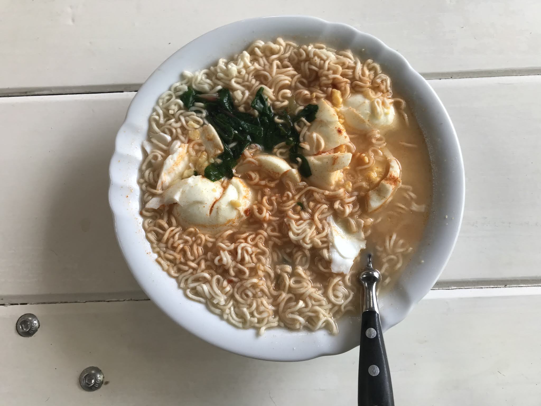
Breakfast of champions!

Digression: That’s the second Kurt Vonnegut quote I’ve dropped into the blog so far. He had a good line in existential quotes that I’ve been trying to remember on the road. “Be kind to your knees, you’ll miss them when they’re gone” (very appropriate on the TA; even if the quote was misattributed to him). “Make me young, etc” (which makes little sense outside of the context of the book; but also happens to be the title of my favourite Thumpermonkey album). And “sitting-up mud” (I’ll have that at my funeral, I think).

Damn it Kurt, now I’m crying over my chicken wrap looking out over the stunning Bay of Islands. This walk is messing with my emotions. 

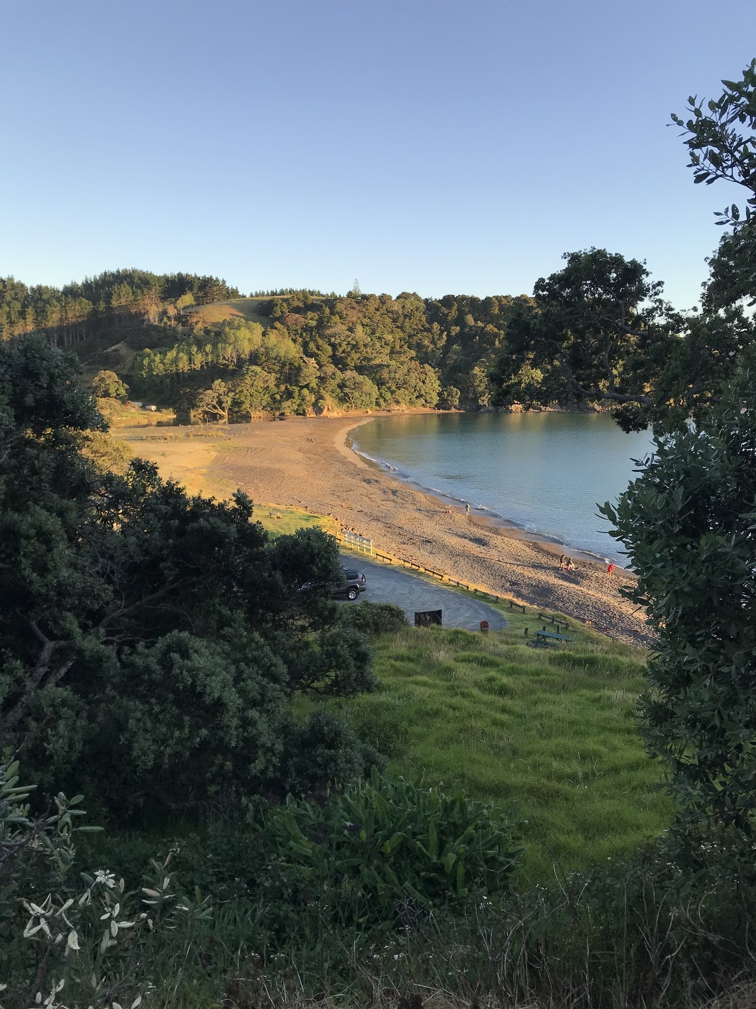
On the ferry to Russell.

A little after 9:00 I was on the road out of Russell. For the first hour I was on a hard-to-find walking track that branches off the road and eventually ends up on a boardwalk through the mangroves. Actually this brought back memories - I did this exact walk about 10 years ago, when I was staying briefly in Russell.

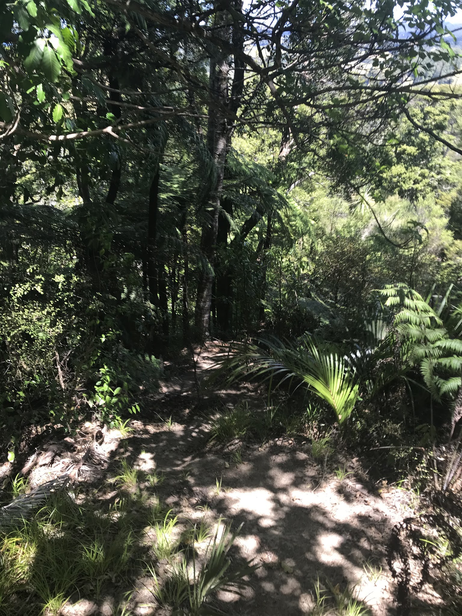
My 10am pic: on the boardwalk.

After that though it was back on the road. 22km of road, passing the estuary, farmland and bush. A fair bit of traffic, and very little verge. I spent the next 10km jumping off the road every time I heard an approaching car.

After that, the road surprising veered to the right and turned into gravel, through a forest. The first 4km of which were steadily uphill. Grrr.

Bypasses. I hate bypasses.

Stopping by the side of the gravel road for a power nap.

Eventually it levelled off, and I picked up speed going down. The rest certainly helped!

A sign! Clare must have come this way recently.

In the end I made it back onto a tarsealed road. There were almost no cars on the gravel section, but elsewhere I’ve been getting encouragement from the passing traffic. Many raise a finger (I guess to say thanks for me leaping out of the way); but I’ve also had 2 waves, 1 thumbs up, 1 “kia kaha/stay strong” fist, and 2 offers of a lift.

My campsite was only a few more kilometres away. It’s called “The Farm” - a farmstay with a menagerie of farm animals and a motley collection of farm volunteers, holiday campers, horse riders, motor bikers and eco warriors. I’m the only solo camper, and still the only TA walker.

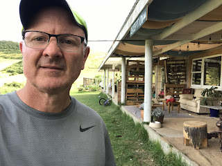
Checking in to The Farm.

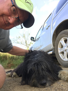
Bonding with the locals.

Spot the tent!

My shin held up today just fine; and while my feet took a hammering, they seem to be recovering well. A salami-cheese-peanut butter wrap and some tuna for dinner tonight - not my best work, but I’ll do something hotter tomorrow. 

After dinner the Farm manager Mike introduced himself. When he heard I taught at Western Springs, he rushed inside and brought out an old school class photo of his Dad - from Western Springs (or Seddon Tech, as it was back then)! Once again, it’s a small world. 

Sitting now with a very lazy farm cat, doing my blog update and listening to someone play the piano. They are very good. 

277km (plus a boat trip) completed! I’m almost halfway.